Do You Know Union’s Neighbors?

May 3rd, 2019

Do you know Union, New Jersey’s nearest neighboring cities and towns? Union has the one and only World’s Tallest Water Sphere. However, let’s face it, Union has some good neighbors who might also see the WTWS and benefit from its awesome visage.

To get you started on this pop trivia quiz, here is a clue map. At the center is the outline of Union, New Jersey. Some roads, rivers, and other features might help you. See if you can name all cities and towns that touch Union’s boundaries.

Union boundaries
Union, New Jersey boundaries and neighbors clue map

Now for the answers. How many cities and towns could you name? How many did you name that actually touch Union?

If you said Cranford, Roselle, Newark, Summit, Mountainside, or Westfield, nice try, but no clean fresh Kawameeh drinking water for you.

If you said Elizabeth, Hillside, Irvington, Kenilworth, Maplewood, Millburn, Roselle Park, and Springfield, congratulations, you have a perfect score and qualify for World’s Tallest Water Sphere reader of the month!

Union neighbor boundaries
Union, New Jersey boundaries with neighbors answer map

The answers for this pop trivia quiz come from Open Street Map admin boundaries data from the US Geological Survey data. I followed the instructions at this site (https://www.nonprofittechy.com/2017/11/29/embedding-a-map-of-service-locations/) to import the data into Google Maps and generate the images above. So if your geography friend swears Cranford or Westfield touch Union, please take it up with the U.S. Department of the Interior. Thanks for reading this far.

Rarely Seen View of WTWS

May 2nd, 2019
Sayre Park view of the World's Tallest Water Sphere

Here is a rarely seen view of the World’s Tallest Water Sphere submitted by Adrienne Browne Dempsey on a recent site-seeing trip in Union. This is a view from Sayre Park which is wedged between Morris Avenue and Route 22 in the north east corner of Union.

Eventually this west branch of the Elizabeth River, which passes through Kawameeh swamp at the base of the WTWS, joins the main brain of the river. There the Elizabeth River forms the border between Union, Hillside, and Elizabeth. After passing through Elizabeth River Park and Mattano Park, the Elizabeth River joins the Arthur Kill which joins Newark Bay and Raritan Bay.

William Clark Contributes a WTWS Portrait

April 8th, 2019

William Clark of Philadelphia contributes this digital painting (made in November 2017) of the World’s Tallest Water Sphere in Union, NJ.

According to Clark: “My father-in-law would frequently pass the Union water tower with his two young daughters while living in Clark, New Jersey. One day, my now sister-in-law decided to utter her very first word during one of these frequent passes. Surprisingly, her first word was a compound word, “water-tower,” kindled by the Union water sphere itself.”

Click on the image for a larger version. Thanks to William Clark for submitting this colorful rendering of the WTWS.

New Jersey Band “Splooge” Celebrates World’s Tallest Water Sphere

April 6th, 2019

Westfield, New Jersey band Splooge recently released an album titled “World’s Tallest Watersphere”. The album from 2018 is available on iTunes, Spotify, and other music sites.

Although the “World’s Tallest Watersphere” album is very recent, the band has followed up quickly in 2019 with a full feature movie “One Step Back” (https://www.newjerseystage.com/articles/2019/02/23/one-step-back-the-rock-and-roll-odyssey-of-splooge/).

More info on Splooge coming soon. Listen, buy, and support your local bands.

Splooge: World's Tallest Watersphere album cover
Splooge: World’s Tallest Watersphere album cover
Splooge at the Rialto "One Step Back" movie premiere
Splooge at the Rialto “One Step Back” movie premiere


Colorful WTWS from 1993

April 3rd, 2019

Here’s a colorful photo of the World’s Tallest Water Sphere from 2013. This image is sent in by Steven Hans Lindner. According to Lindner, this photo was in the Union Township calendar of that year.

You can see more of his photos and contact Lindner at his website at https://www.lindnerphoto.com/index .

Steven Hans Lindner, c2013

World’s Tallest Water Sphere Appears on News12 New Jersey

March 31st, 2019

With the title of “Texas Man Runs Museum Dedicated to New Jersey’s Famous Water Sphere”, this site had the pleasure of being the subject of reporter Brian Donahue’s Positively New Jersey segment on News12 New Jersey on 29 March 2019.

Brian’s story was a well-done two-minute forty-second video with great helicopter and on-site shots. Brian covered the water sphere history, the water sphere museum, and the spiritual aspect of the site. Brian also provided a nice selection of artwork from the site. Art shots were from contributors David Wuethrich, Bumper DeJesus, and David Kessler. The end of the segment had a brief mention of water spheres versus water spheroids.

All in all, quite enjoyable. Here are some screen shots from the broadcast:

News 12 intro

News 12 Reporter and Intro

Brian Donahue and site reporting

Brian Donahue and site reporting

Helicopter establishing shots

Dan reporting live from the WTWS Museum studio

Dan reporting live from the WTWS Museum studio

Interview with Armand Fiorletti

January 13th, 2019


On 2019-01-11, the World’s Tallest Water Sphere site had the pleasure of interviewing Mr. Armand Fiorletti, discussing his role on the building of the Union water tower, his engineering projects, and Union history.

Mr. Fiorletti was born in January 1928 and is currently 91 years old. He worked many years for Grassnann and Kreh Inc. and later became Union Township’s first full time civil engineer. He later became an engineer for Union County.

Grassnann and Kreh (GK) was a civil engineering firm in Union that had many clients and provided design services to Union home builders, site developers, and engineering projects. Henry Kreh did civil engineering in Union for over 50 years. Although the firm is now defunct, the building still stands on Salem Road.

Working for GK after World War II, Mr. Fiorletti was well aware of the Bardy Farms on Union’s west side located in the Battle Hill area. He helped plan and lay out the golf course that was developed from farm land. After World War II, the need for housing was increasing and parts of the Bardy Farms were developed into industry and housing.

Although streets like Morris Ave., Liberty Ave., Springfield Ave., and Milltown Road existed at the time, new streets were needed. Mr. Fiorletti helped lay out Rahway Avenue and the streets off of Liberty Avenue: Hickory Road, Academy, Pinewood Road, Hemlock Road, and others. Mr. Fiorletti was also involved in the “siting” plan in which the road width, the utilities, and the lot sizes are designed. Fiorletti knew and remembered fondly the Cape Cod and split-level houses in the area.

Asked if he was aware of the builders of the houses on Willard and Arnold Place, Mr. Fiorletti said yes, and he also said he worked with the builders. Grassnann and Kreh did many designs to site those houses, and GK had contracts with Fred and Willard Wuethrich to build them. Willard Place is named after Willard Wuethrich. David Wuethrich, son of Willard, is a contributor to this site and graduated Union High class of 1980.

Later on, Fiorletti was also involved in the land development and siting north of the Larchmont reservation. He was familiar with Audrey Terrace, Alice Terrace, and Debra Way. He was impressed with the size of the houses the builders put on the plots.

About 1962, GK worked with Chicago Bridge and Iron Works to build a water tower for Union. Mr. Fiorletti was aware of the water pressure problems in the growing town of Union. The current WTWS site had water wells (still in use today) and a pump house, but more was needed.

Mr. Fiorletti developed the site plan and also served as project manager for the building of the WTWS. Although Chicago Bridge and Ironworks did the WTWS design, GK handled engineering issues for the town of Union. The planning took almost two years, but once building commenced, Mr. Fiorletti was impressed with the speed of completion, about one year. The Union water tower was completed in 1964 and to this day provides Union with clean water and steady water pressure.

We discussed the water system of Union. Mr. Fiorletti knew of Union’s well water from the Kawameeh swamp area. He also mentioned that there are wells all over Union. He said many of the older houses off of Liberty Avenue also have wells, some of them capped with man hole covers, and some still functioning. We both agreed that Union has some high quality and good tasting municipal water compared to the rest of the country.

Later on when Mr. Fiorletti became a full time engineer for the town of Union, he moved into Mayor Biertempful’s offices on Swanstrom Place near the public works yard.

Toward the end of the interview, we discussed much of Union history, from Connecticut Farms time to the present. Mr. Fiorletti is proud of his contribution to the World’s Tallest Water Sphere and Union history. We hope to talk with him again and find more interesting facts. Thank you Mr. Fiorletti. May your work on the WTWS continue to serve as a landmark, an inspiration, and a functioning utility of the Township of Union.

World’s Tallest Photobomber

June 18th, 2018

This photo submitted by well-know Unionite Tom Haggerty shows an unlikely photobomber, the World’s Tallest Water Sphere.

Nestled in between the bowling pin and ball, we see the light gray cue-ball-esque Union water tower.

Tom also sent a photo with tighter cropping, but I like this one better because it shows the WTWS in its Union context.

First we see a dilapidated “Hyway Bowl” sign with the barest of “Cactus Lounge” vestiges appearing on the ball. We also see from the marquee that nothing is going on today. We do see however that you can cash checks and sell your gold and diamonds there. Service to the customers!

We also see juxtaposed the beautiful sky and trees of New Jersey and the typical ugliness of US Route 22: endless saggy power lines, the now defunct Toys R Us sign, and lots of bad asphalt and gardening.

A Bird’s Eye View of the World’s Tallest Water Sphere

June 12th, 2018

Here are some wonderful photos of the World’s Tallest Water Sphere taken by Chad Aaronson (Chad’s YouTube link) recently. They are taken with a DJI quadcopter and show some views of the WTWS that only the birds get to see.

In the first photo we see the WTWS on a pleasant spring day. The cobalt blue sky contrasts nicely with the verdant green trees and Kawameeh swamp. You can see back to the Newark and Bayonne docks and the skyline of Manhattan in the distance. Below are the busy US Route 22 and Garden State Parkway highways.

Also quite visible is the maintenance of the tower. The uneven paint shows numerous touch-ups, patches and rust. It looks like it is time for a complete repainting. The tower gets quite a lot of use, not only for storing water, but there about 50 mobile phone antennas on the neck, and a red navigation beacon on top. The sign below reads “I’m not so easily replaced. Only Tap Water Delivers.”

Here’s a nice view of Union’s water tower close up. You can see that it is truly a sphere, not some crushed deflated spheroid or cylindrical abomination. Behold the spiritual center of Union, 218 feet (67 m) above Kawameeh Swamp.

Life Is Beautiful

December 28th, 2017

Armand Fiorletti, designerLife Is Beautiful. Sometimes you plant seeds, and you watch them grow. Sometimes you reach out to friends, and you see many more answer your call.

Our whole purpose on this site has been given back many-times in the emails, photos, stories, news articles, and connections we have made through your contributions.

None has touched my heart more than a connection back to the designer of Union’s World’s Tallest Water Sphere, Armand Fiorletti. This photo shows Mr. Fiorletti on his 90th birthday and enjoying his engineering-themed birthday. In his hands he holds a model of the World’s Tallest Water Sphere.

Our thanks go to Sandra Kubacki, daughter of Mr. Fiorletti, who lives in New Jersey and reached out to this site. She engineered the 90th birthday party, and we agreed to give this simple token, a 1980s blue model to the tower designer.

Thanks all for your contributions. You have shown that people can make the world better.

Historic Photo of Union near the Swamp

August 5th, 2017

Morris Avenue and Route 22
Multiple contributor and intrepid reporter Tom Haggerty provides this historic photo of Morris Avenue in Union near the Route 22 overpass. The caption in the photo labels the overpass as Highway 29 which is the old name before north/south and east/west highways were given odd and even numbers.

The photo appears to be from the 1940s judging by the cars. Is that a Model T in the far right lane?

The overpass shows a sort of Georgian architecture with its horizontal bands, colonnade railing, and obelisk decorations. This is a contrast to today’s overpass which is made with many steel beams.

Notice the tall brick smokestack to the right which appears to be on the current site of the World’s Tallest Water Sphere. Perhaps an incinerator provided power to pump water or process trash. Also notice the concrete slab and tar seam construction. I distinctly remember the rhythm of the tires slapping the seams as you traveled down the road.

A View from My Apartment

April 9th, 2017

WTWS from apartmentAn anonymous author contributes this photo and writes:

“I have attached a photo taken some time around 2005. It was a very low point in my life when I moved into an apartment. I laid down on the bed and realized my destiny or lack thereof when I saw our friend glaring in at me.

Things got better, and I did make it to Kenilworth several years later.

The apartment building is now gone and part of Applebees’ parking lot.”

Falcon 9 and Dragon Launch

February 18th, 2017

Falcon 9 and DragonToday (2017-02-18), we watched the attempted launch of the Space X Falcon 9 rocket and Dragon spacecraft to the International Space Station. Unfortunately the mission was aborted at T minus 13 seconds due to some equipment anomalies. Shown in the photo is the rocket at the moment of launch abort. You can see the Florida Space Coast with intracoastal waters in the foreground, calm ocean and great visibility in the background.

It was exciting to watch the launch attempt. The Falcon 9 rocket sits on the NASA Launch Complex 39A of the Kennedy Space Center as the clock ticks down. Various members of mission control report in with status of the rocket systems. The rocket is breathing off clouds of white chilled gasses as they bleed the tanks. Would the machine blow up? Would it take off?

A beautiful water tower stands nearby and ready. In the event of a tragedy, it will deliver gravity pressurized water to rescue the site. It is nicely painted white with the Space X logo at the top.

A relaunch will be attempted tomorrow.

Union Watershed Boundary

January 29th, 2017

20170129 Hamilton School UnionDid you know that a rain drop landing near Hamilton School on Burnet Road in Union has two routes to get the Atlantic Ocean?

This location in Union sits on a watershed boundary. That means that the rain drop might run off towards the west side of the road, in which case it will go through the Union Larchmont area, find its way to the Rahway River, and flow to the ocean. If the rain drop runs off towards the east side of the road, it will go past Union High School, past the World’s Tallest Water Sphere, find its way to the Elizabeth River, and flow to the ocean.

See for yourself on Google maps.

Find out more about watershed boundaries at the U.S. Geological Survey web site.

Choose wisely rain drop.

New Satellite Images of WTWS

June 28th, 2016

I recently read that Google Earth updated their Earth images from Landsat 7 to Landsat 8. Of course the first view I had to inspect was the World’s Tallest Water Sphere and Kawameeh Park.

Google Earth WTWS

Google Earth WTWS

The image looks bright and clear with details I have never seen before. Rooftops, sidewalks, and streets look so clear. The colors (such as the golf course green) look hyper-realistic (not so great), but help clarify roads and green space. The labeling of landmarks and roads is excellent.

It is awesome to see from this vantage point the American Water painting on top of the water storage tank. This is something you only see from a plane or a detailed satellite image such as this.

This image looks like it is from the late spring or early summer. The trees are full. The swamp is green.

However, where are the cars? Is it possible they captured this photo Sunday at 6 a.m. with no cars in sight on Route 22 or the Parkway? Have the cars been edited? Is this a multi photo time image with cars removed? Is this the zombie apocalypse in Union?

Great photo. Thanks Google Earth.

Zoom Zoom Zoom!

March 6th, 2016

NYC Empire State view of WTWSHere is a great photo from 360 GigaPixels. This particular view is looking southwest from the Empire State Building in Manhattan towards New Jersey on 2016/02/24.

The photo resolution is an incredible 203200 x 101600. If you printed this at 300DPI, it would be 18 meters/57 feet wide and 9 meters/28 feet tall.

The top half of the photo contains the normal photo from the Observation Deck. You can see the Sun starting its descent into the late afternoon sky. Before the horizon, we see the Hudson River, Bayonne, Newark, and western New Jersey beyond. On the originating site, the photo appears to be a regular photo until you start zooming in more and more. The pixels flow almost endlessly with every zoom.

The bottom half is at maximum zoom. The photo shows the most interesting objects, circled in yellow. In the middle center, we see Newark Liberty International Airport. The control tower is slightly to the left of center. In the bottom center, we see a sleek helicopter zooming across lower Manhattan. In the upper right we see a jet plane, ascending greatly, leaving Newark Liberty, heading westward across the New Jersey Watchung mountains, the ridge that makes the horizon in this photo.

Most interesting to this site? The World’s Tallest Water Sphere of Union, New Jersey, is plainly visible from the Empire State Building.

Sunset Water Tower near Waco, Texas

February 15th, 2016

20160214 Waco TowerHere is another nice water tower shot near Waco, Texas. This photo is from our intrepid reported Jason Baker as he speed down I-35 around sunset.

Here is precise location on Google Street View, you can see it on the right.

The sun has rolled along the horizon where it has encountered the water tower blocking its path. The sun no longer can mover horizontally, and so it has to sink below the horizon.

The tower is a free-standing cylinder. It has a rather thick neck and cylindrical top. The trees are still mostly bare this time in Texas. The blue sky and luminous orange make for a nice sunset.

Round Rock Water Tower 2016

February 9th, 2016

20160209 Jason Baker Round RockHere’s a wonderful photo of the Round Rock, Texas water tower. This comes to our site from blogger and photographer Jason Baker.

Round Rock is north of Austin, Texas. It has an historical town center. This tower is close by.

From the photo, the tower is somewhat well maintained. No obvious problems, but it has some rust, and could use a new paint job. I give credit to the nice font, lighting, and identification of the location. This tower is one of many examples of the multi-column water tank. It is very simple to construct. It has proven its value over the long run.

No lights, no mobile antennas. Has Round Rock realized the value of their main attraction?

Northern New Jersey Drainage Basins

January 18th, 2016

20160118 NJ RiversMany New Jersey residents know towns, highways, and diners like the back of their hand. However, how many Jersayans can name the rivers or creeks of their local drainage basin (also known as a water shed). With so many rivers and streams heading to the Atlantic Ocean, I find it hard to believe that most Jersayans know their local river, and then do not know the next one over. This article is to help you understand the drainage basins in northern New Jersey.

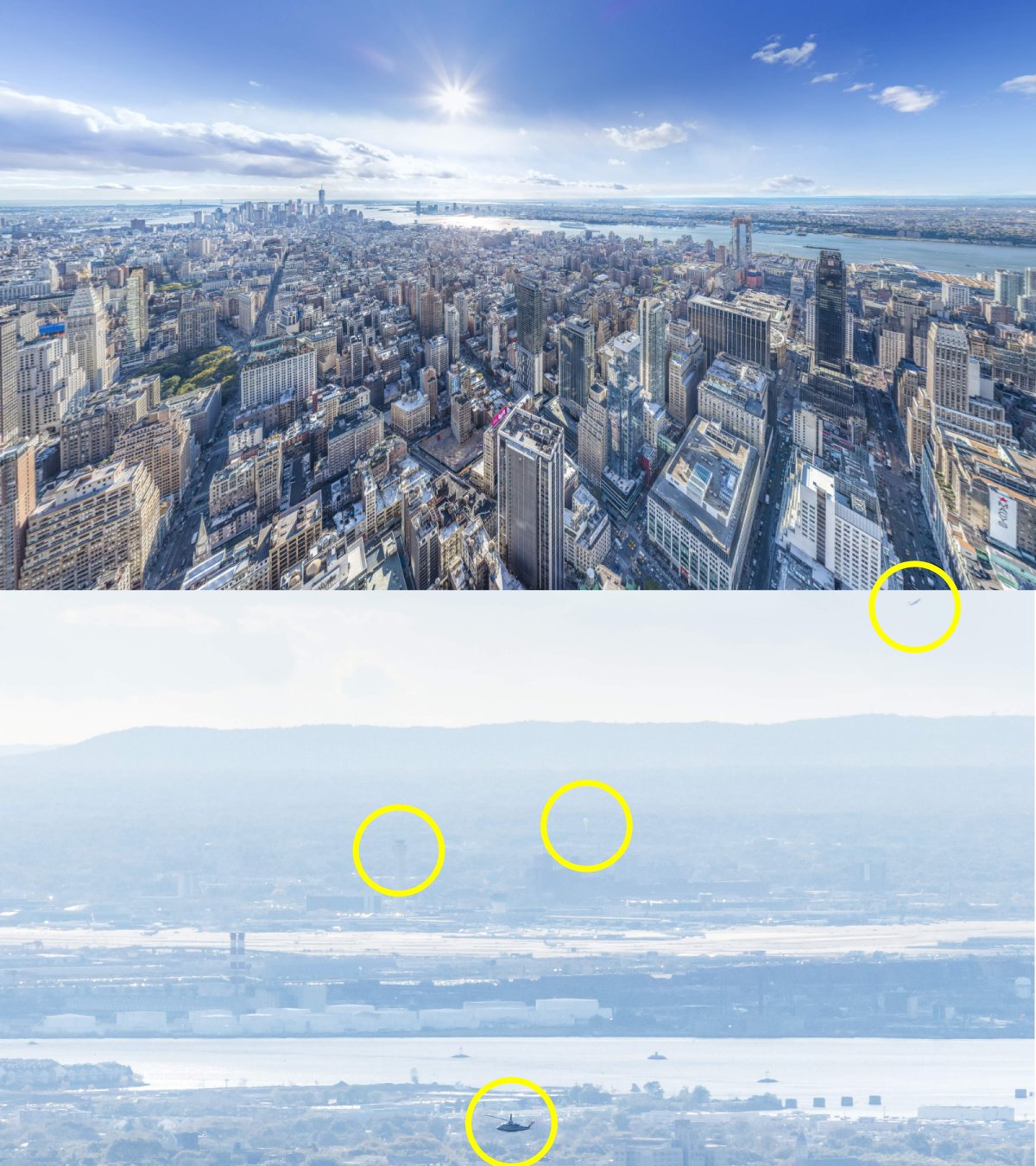
1. First let’s look at the big granddaddy, the Hudson River. This is the massive 315 mile (507 km), 22000 cu ft/s (620 m3/s) highway that drains most of east New York. It separates New York from new Jersey in the north and is the reason we have the Holland Tunnel, Lincoln Tunnel, and George Washington Bridge, not to mention numerous ferries and bridges north. Jersey City, Fort Lee, the Palisades, and beyond. Big enough for Captain Sulley to land a plane safely. Resplendent with boats, cruises, and many events, this is a crown jewel in our country’s rivers.

2. Not so well known is the Hackensack River. About 54 miles (87 km) long, 173 cu ft/s (5 m3/s). This river borders many of the Meadowlands swamps and heads up to Jersey City, Secaucus, and up to the northern border.

3. Next up is the Passaic River. About 80 miles (129 km), 2,100 cu ft/s (59 m3/s). This river is the terminus for many northern New Jersey rivers, the Whippany, the Rockaway, The Pequannock, the Wanaque, the Rampano, and the Saddle rivers. Look at the beauty of all those local names! Many rivers near the Great Swamp, Short Hills Mall, the west side of the Watchungs, and Great Piece Meadows drain here.

4. The Morris Canal is not a drainage basin, but it is an important waterway in North Jersey. From the middle 19th century until the early 20th century, it formed an important highway between Pennsylvania and New York. Coal, iron, and passengers were transported in canal boats from Easton/Phillipsburg in west New Jersey, along multiple locks and ramps, and into a basin close to lower Manhattan. Today, these pathways and canals form an important greenbelt across northern New Jersey.

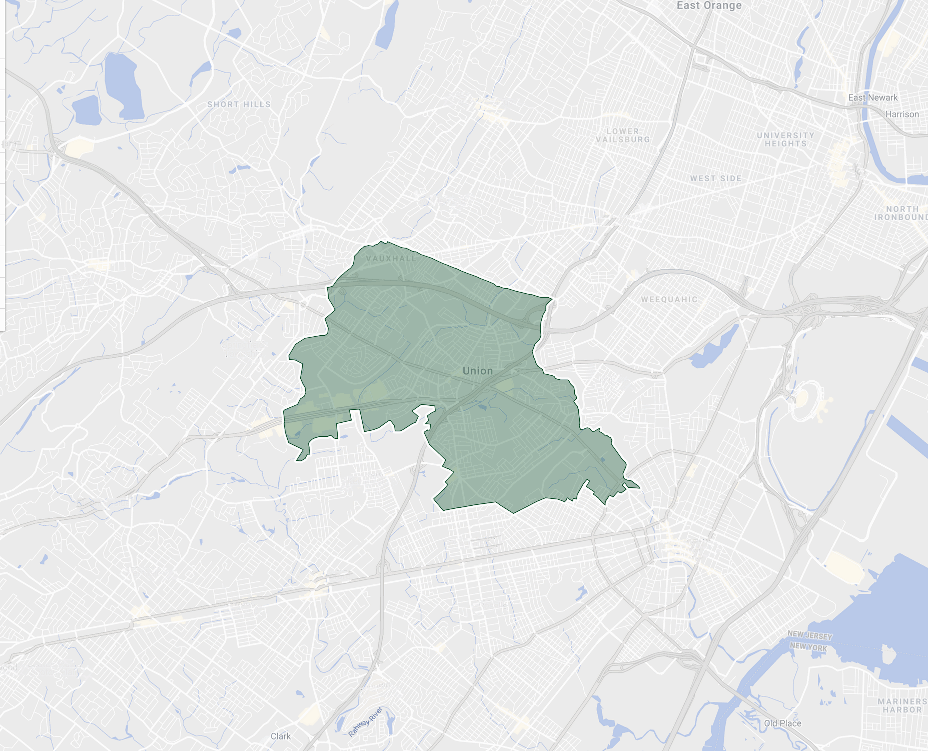
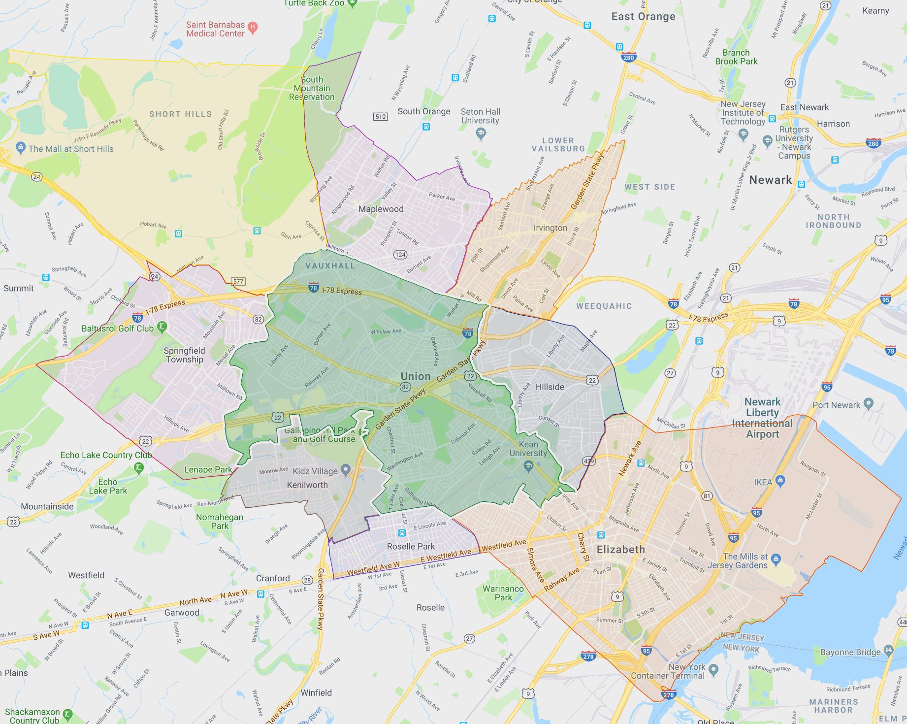
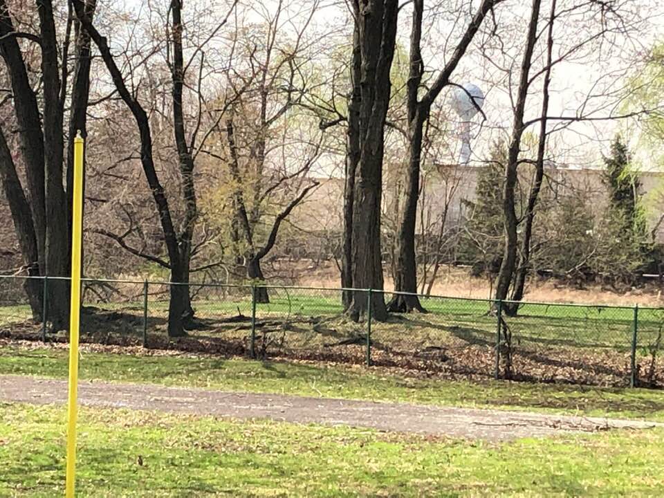
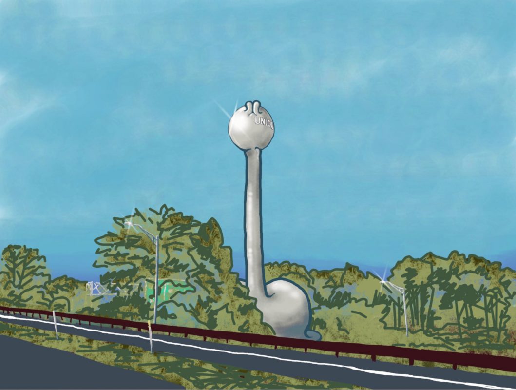
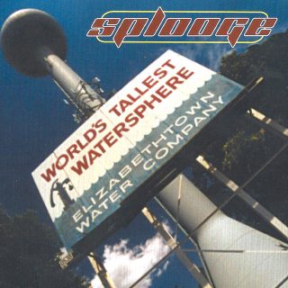
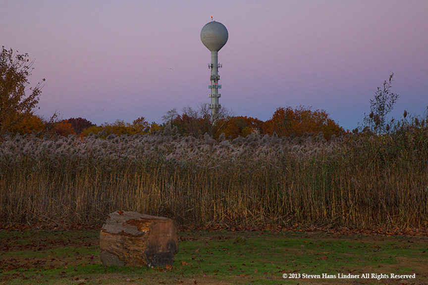
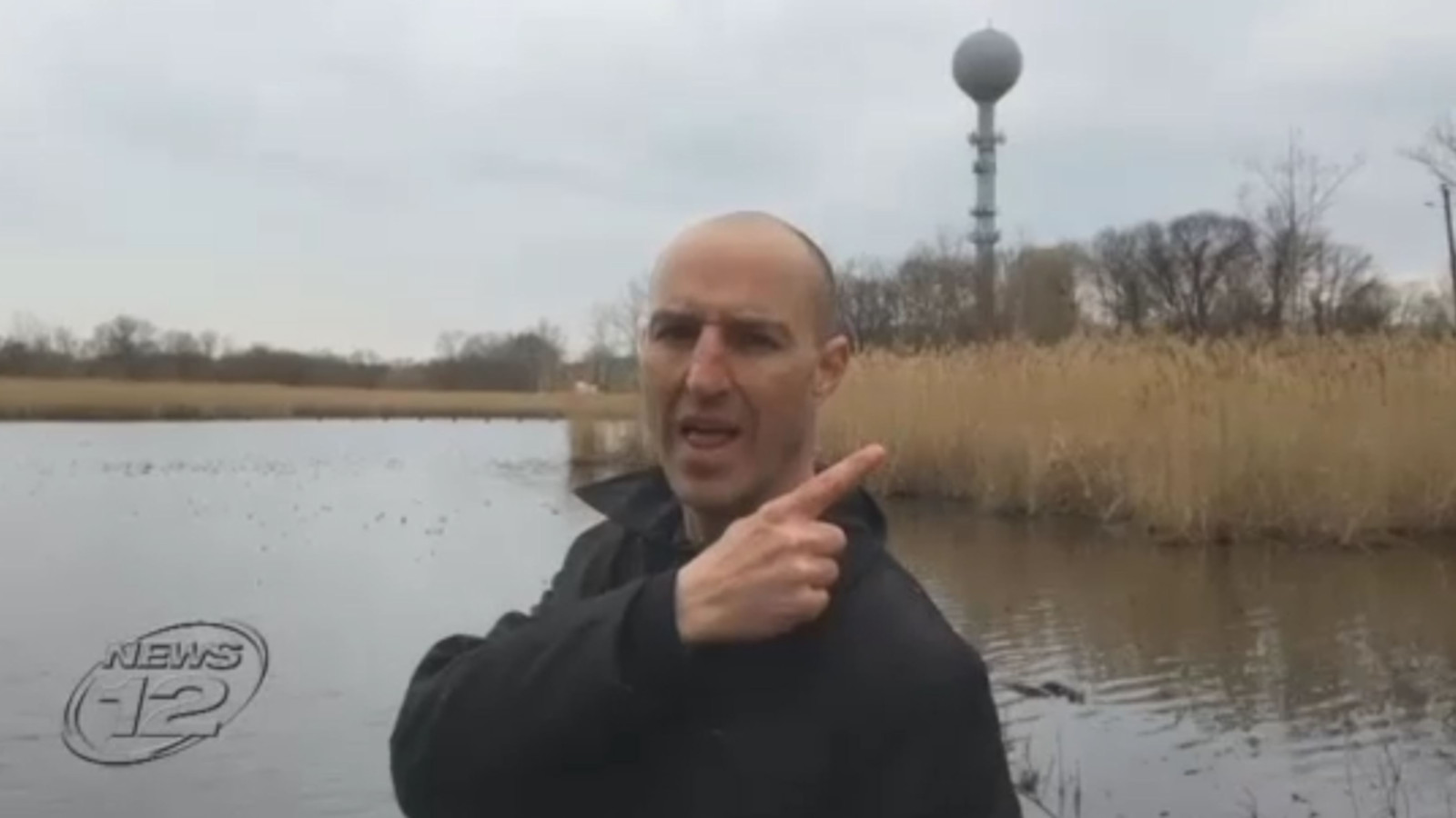
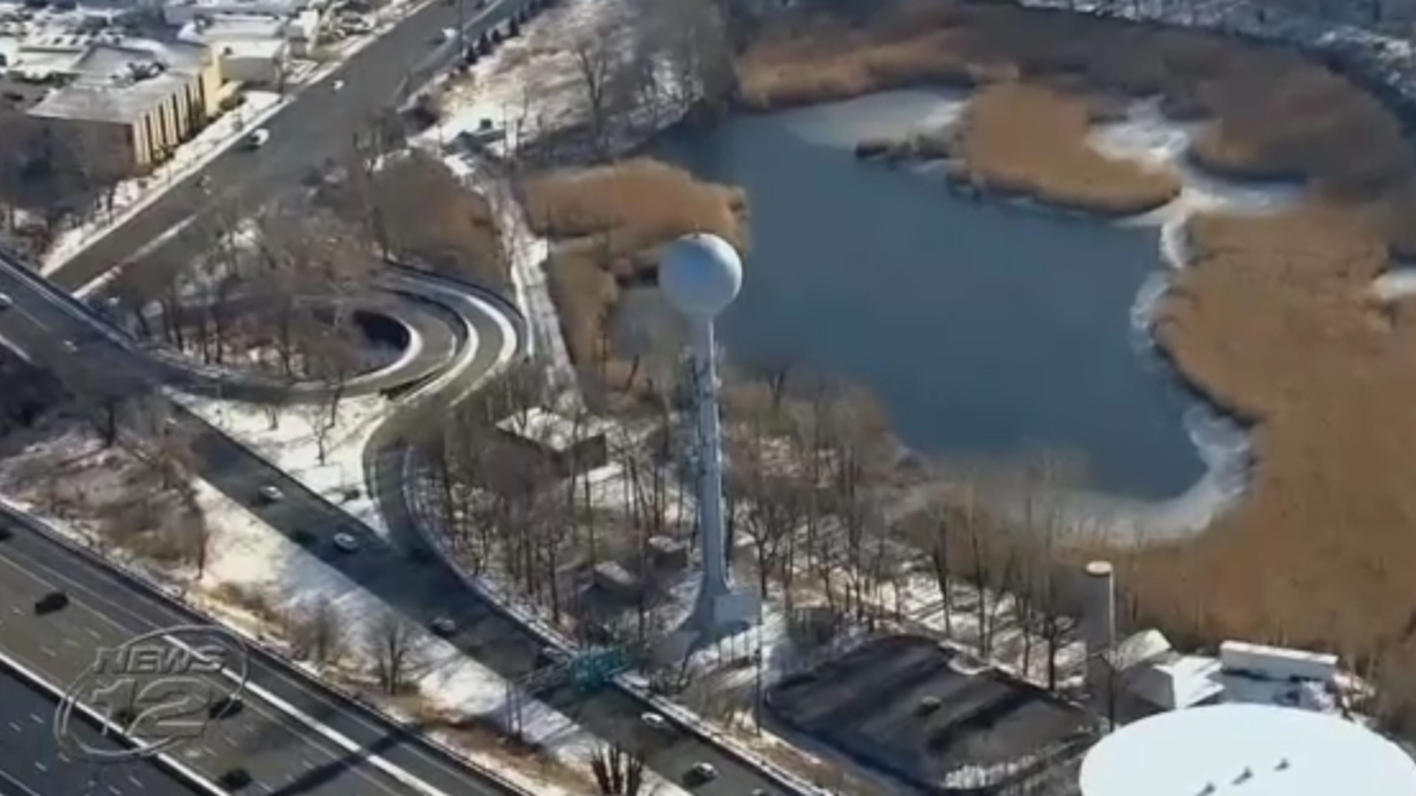
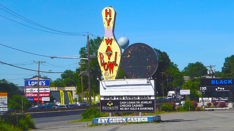
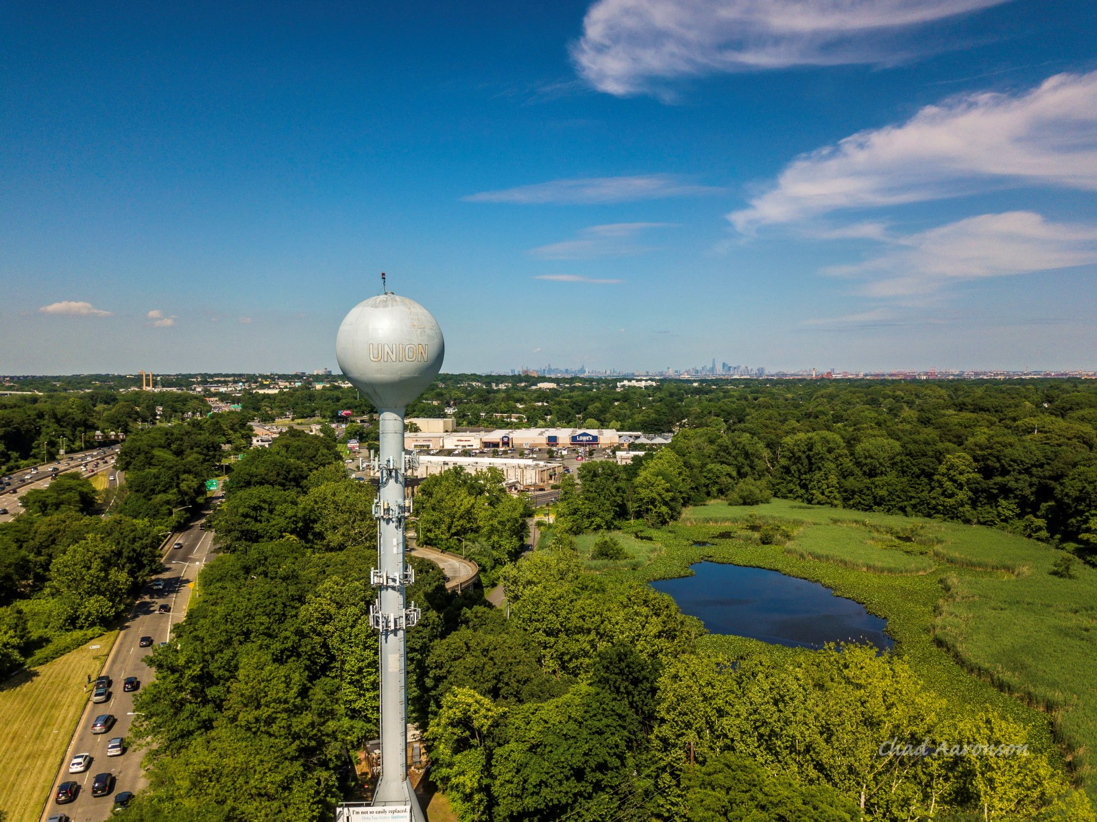
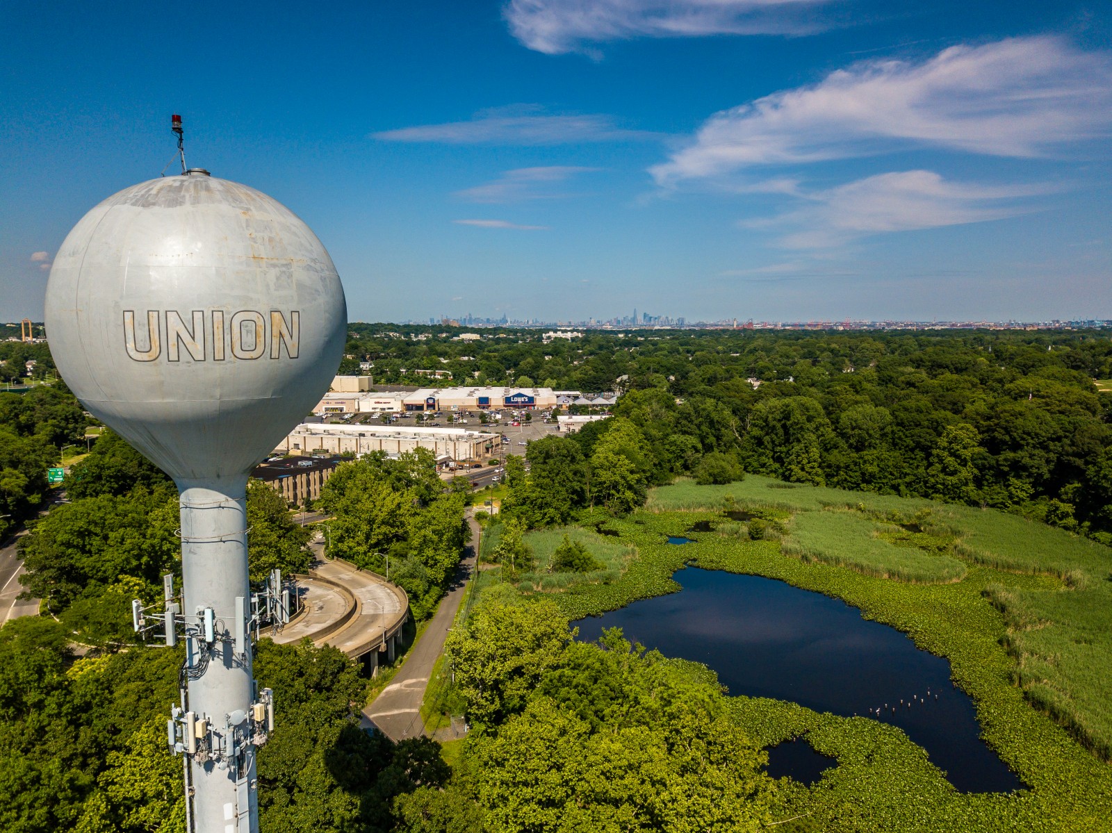
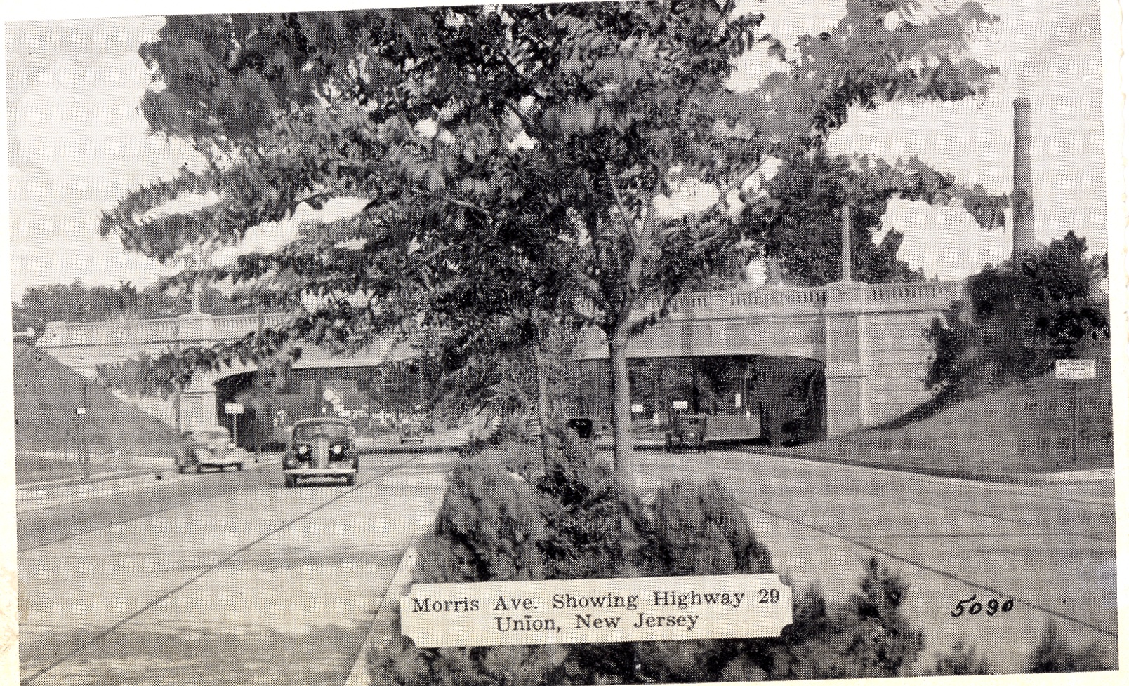
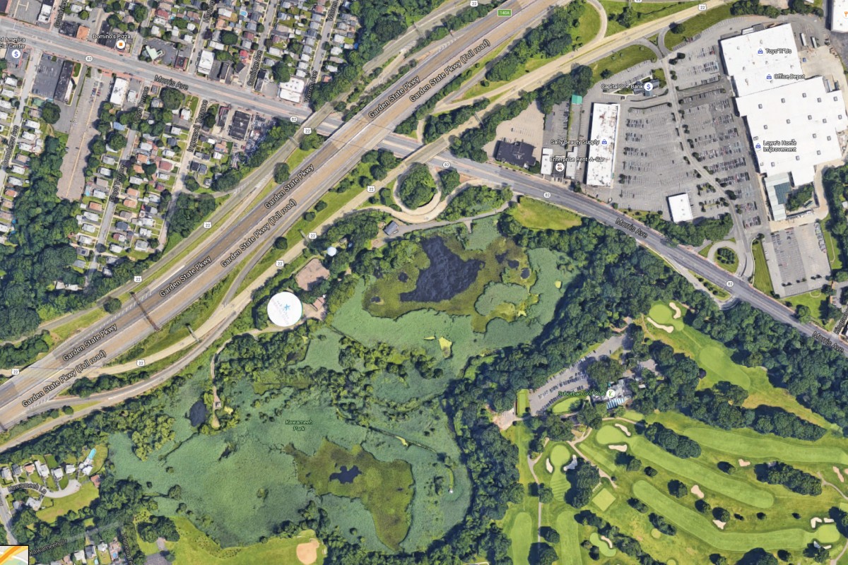
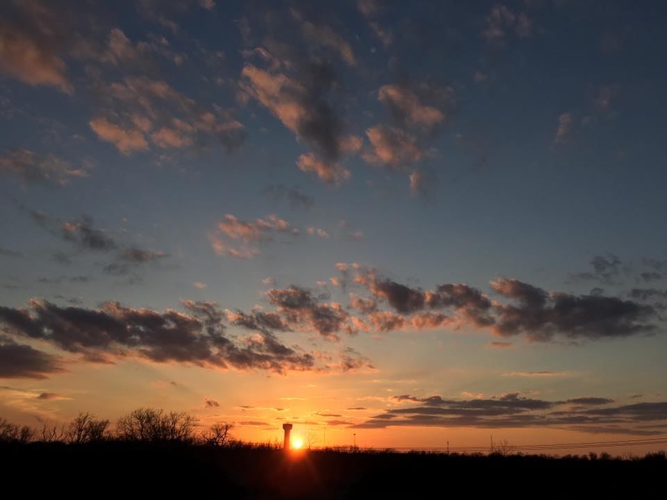
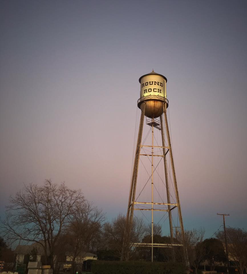
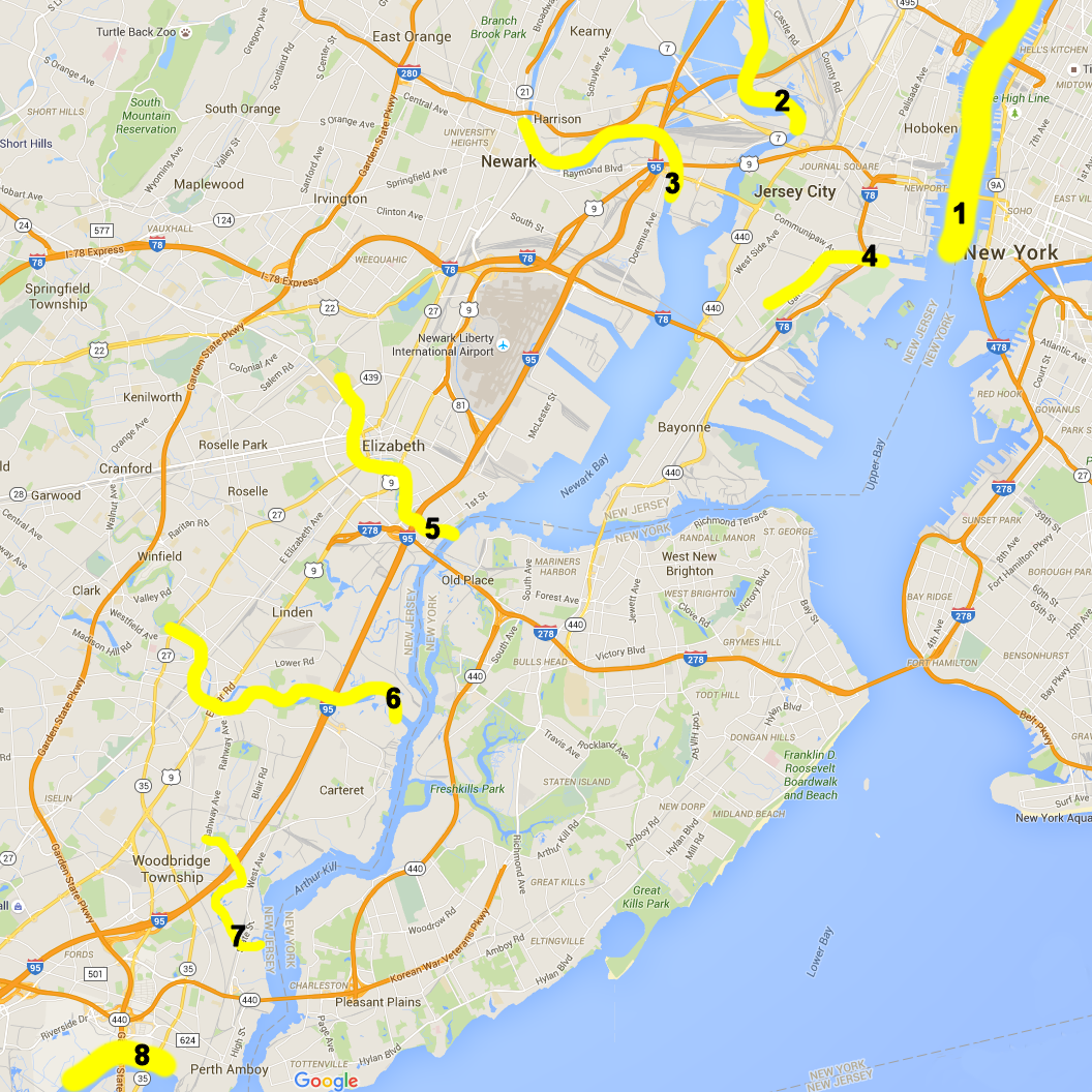
5. The Elizabeth River is a rather small river in northern New Jersey. However, it is near and dear to our hearts because it starts in the Kahwamee swamps in Union near the World’s Tallest Water Sphere. It heads through east Union, into Elizabeth, under Route 9 and I-95, the Jersey Turnpike, and dumps into Arthur Kill. From there it is a short paddle to the Goethals Bridge, Staten Island, the Bayonne Bridge, and beyond. How did Staten Island ever become part of New York state? From a geography perspective, it is closer, and looks more similar to Elizabeth, Linden, Carteret, and Perth Amboy.

6. The Rahway River is next and drains a major portion of northern New Jersey. Traveling upstream from the Arthur Kill, past I-95/Turnpike, Route 9, Route 27, and the Garden State Parkway, it branches into two sides. The east side goes up through Rahway, Cranford, Kenilworth, and Union. The west side goes through Middlesex and Shackamaxon.

7. The Woodbridge Creek is rather small, but it drains Woodbridge River Park to the east and Heards Brook to the west. Both of these small rivers pass under many New Jersey highways: I-95/NJ Turnpike, US 35 to the shore, and US9.

8. Next we have the Raritan River. This 30m (48 km) river with 1,070 cu ft/s (30 m3/s) is crossed by nearly all Jerseyans on their way to and from the Shore. From Perth Amboy, to Edison, and west to Somerville and the Round Valley Recreation area, this river drains most of central New Jersey. Many huge bridges take cars back and forth from north to south Jersey over this river.

9. Finally, in west northern New Jersey, we have the Delaware River. This mighty 301 m (484 km) basin with 14,119 sq mi (36,568 km2) of drainage, originates in New York, and drains both eastern Pennsylvania (including the Lehigh and the Schuykill), western New Jersey, and Delaware. Passing Easton, Trenton, Philadelpia, Wilmington, and Cape May to the sea, this is the border between New Jersey and states west. The next major basin nearby is the Chesapeake Bay.

We hope you enjoy this overview of the drainage basins of northern New Jersey. These rivers are the life blood of the people in the area for many ages. The names, the routes, and the history strike a resonant chord for all northern New Jerseyans.

Hey Abbott!

December 24th, 2015

Abbott Texas towerAbbott Texas has a nice water tower. As seen in the photo, the tower is white, has the town name, and is a true water sphere! It is relatively unencumbered with mobile phone antennas, although it does have aviation lights on top and two maintenance attachment collars beneath the sphere.

Although not very tall, it stands on a relatively flat plateau, so it can be seen clearly from Interstate 35 somewhere between Waco and Fort Worth. It also elevates the water to the highest point in the area, providing water pressure for all the toilets to refill with clean fresh water, ready for another dirty load.

This photo is the quintessential Texas farm photo. Dusky clouds float over the farm. An abandoned, rusting truck is parked beneath the trees awaiting its rescue or eventual decay.

The WTWS site wishes you and your family Merry Christmas, Happy Holidays, and Happy New Year!