New Satellite Images of WTWS
I recently read that Google Earth updated their Earth images from Landsat 7 to Landsat 8. Of course the first view I had to inspect was the World’s Tallest Water Sphere and Kawameeh Park.
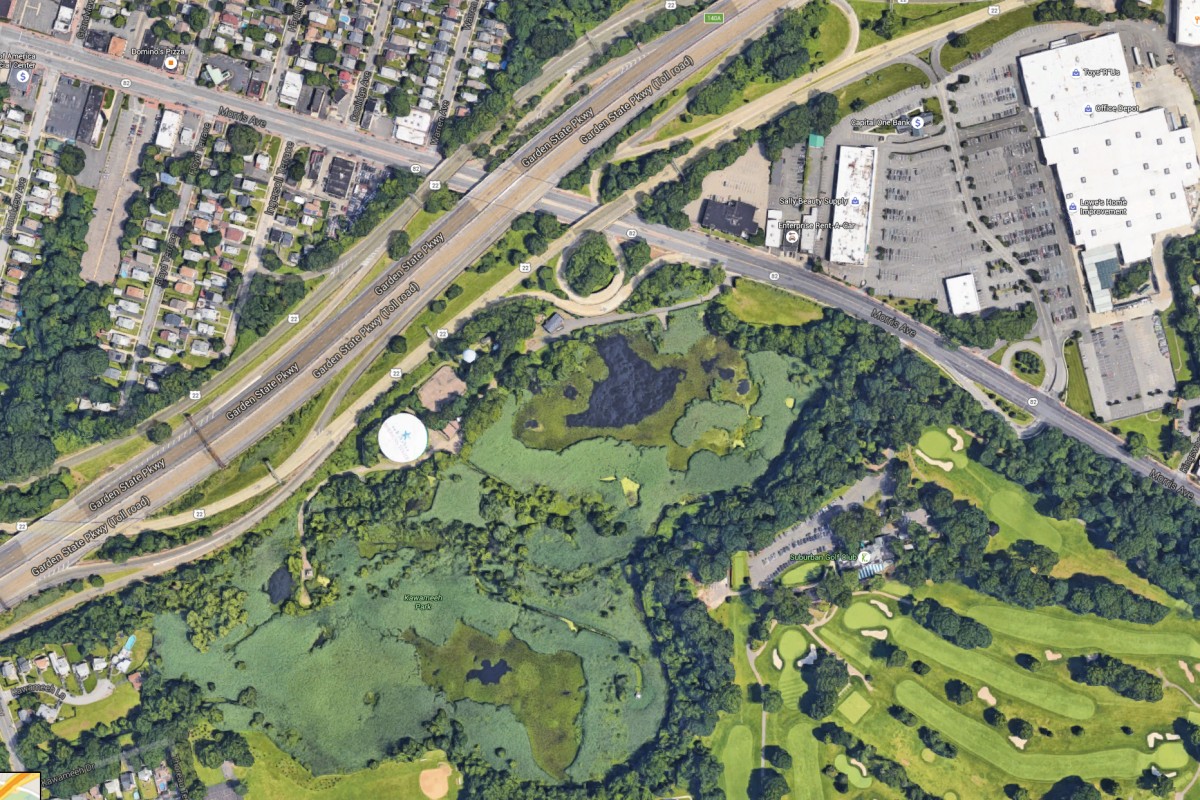
Google Earth WTWS
The image looks bright and clear with details I have never seen before. Rooftops, sidewalks, and streets look so clear. The colors (such as the golf course green) look hyper-realistic (not so great), but help clarify roads and green space. The labeling of landmarks and roads is excellent.
It is awesome to see from this vantage point the American Water painting on top of the water storage tank. This is something you only see from a plane or a detailed satellite image such as this.
This image looks like it is from the late spring or early summer. The trees are full. The swamp is green.
However, where are the cars? Is it possible they captured this photo Sunday at 6 a.m. with no cars in sight on Route 22 or the Parkway? Have the cars been edited? Is this a multi photo time image with cars removed? Is this the zombie apocalypse in Union?
Great photo. Thanks Google Earth.